

What the guides cover
Each guide looks at one American city from a visitor's point of view. It names the areas where incidents cluster, explains when and why the risk changes, points out the safer parts of town and lists the practical steps that actually reduce your chances of running into trouble.
We write for people who are planning a trip, a move or a night out. The goal is to help you make better choices, not to rank cities or scare you away from them.
Where the information comes from
No single source tells the whole story of a neighborhood, so every guide combines several:
- Public crime reporting. Police department crime maps, city open-data portals and annual reports, plus the FBI's national crime statistics for wider context.
- Local news coverage. Reporting from local newspapers and TV stations about recurring problems, recent incidents and changes in an area.
- Official city and transit sources. Information from city governments, transit agencies and tourism offices about stations, routes, events and services.
- Residents and visitors. What people who live in or know a city say about their own streets, including the corrections readers send us.
The "Crime at a glance" figures
The box at the top of many city guides uses official data from the FBI Crime Data Explorer, which collects the offenses reported by each police department in the country.
- What is counted. Violent crime covers murder, rape, robbery and aggravated assault. Property crime covers burglary, larceny-theft, motor vehicle theft and arson.
- Rates, not totals. Figures are offenses per 100,000 residents, so a big city and a small one can be compared fairly. We compare each city with its state and with the national rate.
- Whose data. Each city uses the figures of its own police department. Its jurisdiction may not match city limits exactly.
- Gaps. Some departments did not report every month in some years, often during the FBI's switch to its newer reporting system. We leave those years out instead of showing a misleading number, and say so under the chart.
- Delay. The FBI publishes each year's data with a lag of several months. We refresh the figures when a new year is released.
City-wide rates say little about a specific street. That is why the guides focus on corridors, hours and situations, and use the numbers only as context.
How the state rankings work
Each state page ranks its cities by the same FBI figures, from the highest violent crime rate to the lowest. A button switches the order to property crime.
- Which cities. Every city we have a guide for, as long as it has reliable data. In states where we only have one guide, we add the state's other cities of 10,000 or more residents so the comparison means something. In Hawaii, where police work by county, the other entries are counties.
- Reliable data only. A city needs at least two complete years and recent figures (2023 or later). Years with missing months or a sudden drop that points to incomplete reporting are left out. Cities that don't pass are named under the table.
- Same year where possible. Most cities use the latest year the FBI has published. When a city's latest complete year is older, it is marked next to its name.
- Top 25. In large states the table shows the 25 highest rates; the safest cities are listed separately.
- Context, not a verdict. A high citywide rate doesn't make a whole city unsafe. Crime clusters in a few areas, and the city guides show which ones.
How we describe an area
Crime is rarely spread evenly across a neighborhood. It concentrates on particular corridors, transit hubs and blocks, and often at particular hours. Our guides try to be just as specific:
- We describe streets, landmarks and time windows instead of labelling whole communities as dangerous.
- We explain the kind of risk involved. A car break-in hotspot calls for different precautions than an area with street robberies.
- We always include safer areas and practical advice, so each guide helps you plan rather than just avoid places.
- We never name private individuals or accuse specific businesses.
The people who live in the areas we mention are not the problem we are describing. Many of these neighborhoods have great food, history and community life, and they are perfectly fine to visit with ordinary care.
What the risk levels mean
Some guides include a table that gives each area a risk level. These levels compare areas within the same city. They are an editorial summary of the sources above, not an official score, and a "high" area in one city is not directly comparable with a "high" area in another.
- LowProblems are uncommon. Normal city awareness is enough.
- Low to moderateMostly fine, with occasional issues such as car break-ins or petty theft.
- ModerateIncidents are more frequent, especially at night or in specific spots. Plan your route.
- HighReported crime is well above the city average. Avoid walking there after dark and use rideshare.
- CriticalThe highest concentration of serious crime in the city. There is usually no reason for a visitor to be there.
How guides are updated
Every guide shows the date it was last updated. We review guides regularly and revise them when new data is published, when an area changes noticeably or when readers tell us something is out of date.
Limitations
We work hard to keep the guides accurate, but you should know their limits:
- Data arrives late. Official crime statistics are usually published one to two years after the fact.
- Reporting is uneven. Some police agencies do not report every year, and many crimes are never reported at all.
- Boundaries do not match. Police districts and neighborhood names rarely line up exactly, so the edges of an area are approximate.
- Things change. A street can improve or get worse within months, and a single event can change the picture quickly.
Use the guides as one input, not the last word. Check local news and official sources shortly before you travel. In an emergency anywhere in the United States, call 911.
Photos
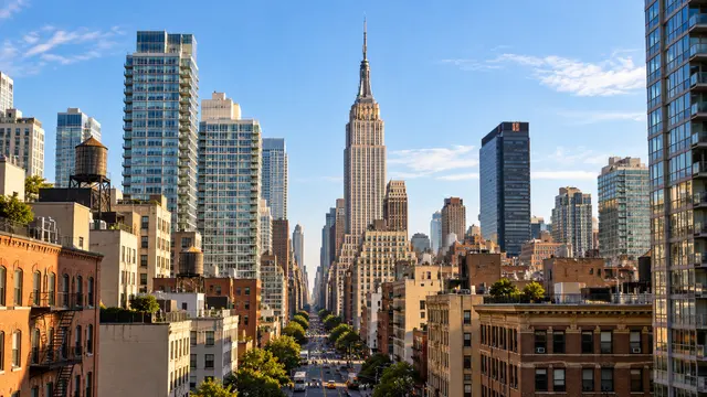
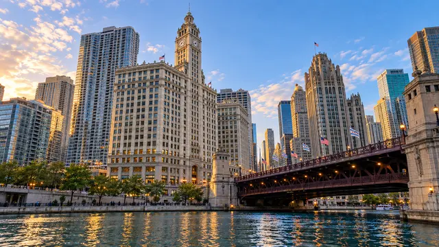
City photos come from Wikimedia Commons and Openverse and are used under their Creative Commons or public domain licenses. The author and license are credited under each image. Cities without a suitable photo show a neutral placeholder.
Independence
The site is funded by advertising and may include affiliate links, for example to hotel or travel insurance providers. Advertisers and partners have no say over what we write, and no area is described more favorably because of a commercial relationship.
Corrections
If you think something in a guide is wrong or out of date, please tell us. Write to contact@dangerousneighborhoods.com with the city, the section and what has changed. We review every correction and update the guide when the information checks out.