Dangerous Neighborhoods in Phoenix
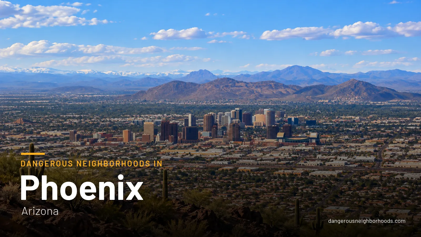
Searching for dangerous neighborhoods in Phoenix usually turns up confident lists and sweeping labels. The honest answer is less dramatic and more useful: in Phoenix, risk depends on the block, the venue, the event, the route and the hour, not on the name of a whole community. This guide uses official city and transit data to show where the everyday visitor exposures actually cluster: vehicle break-ins, theft, robbery, assault, unsafe crossings and heat emergencies. It also covers how to plan around them without canceling your trip or avoiding half the map.
Think in blocks and hours, not neighborhoods
A neighborhood label hides too much. The same district can feel relaxed at a Saturday lunch and uncomfortable at 1 a.m. once the bars empty, and a single parking lot can generate more trouble than the streets around it. So the useful question is not "which area is bad?" but "which situations raise my exposure, and how do I reduce them?"
For most visitors, the realistic risks are ordinary and preventable: a smashed rental-car window, a phone lifted in a crowd, a confusing late-night transfer, a wide arterial road crossed in a hurry, or a long walk in serious heat. None of these are confined to one part of town, and all of them respond well to planning.
What the official numbers actually show
The most recent complete Phoenix Police UCR table covers calendar year 2025. One point matters before anything else: it reports counts of offenses known to police, not visitor-adjusted rates. A count tells you how many incidents were reported citywide. It does not tell you how likely something is to happen to you, and it cannot rank neighborhoods.
For 2025, the table lists these citywide totals:
- 45,114 Part 1 crimes in total, the broad category that combines serious violent and property offenses.
- 11,560 violent crimes, including 130 criminal homicides, 2,378 robberies and 8,065 aggravated assaults.
- 33,554 property crimes, including 23,213 larceny-thefts and 5,788 motor-vehicle thefts.
For a traveler, the property figures are the most relevant. Larceny-theft is by far the largest single category in the table, which fits what visitors most often run into: theft from cars, bags and unattended belongings rather than confrontation.
The same table shows a lower count in each successive quarter of 2025. Violent crime fell from 2,940 in Q1 to 2,620 in Q4, property crime from 8,696 to 7,737, and total Part 1 crime from 11,636 to 10,357. That is an in-year count pattern, not a population-adjusted rate, and it does not prove that every area became safer.
There is also a reporting change to keep in mind. Phoenix moved to a new records-management system in September 2025 and discontinued the old UCR Summary system in January 2026. Comparing 2025 with earlier or later years therefore needs care, and any headline claiming a dramatic year-over-year swing deserves a second look.
Hotspot maps: useful, but easy to misread
Phoenix Police publish monthly and annual person-crime and property-crime density maps. They show where reported incidents concentrate, which makes them genuinely helpful for spotting patterns such as big parking lots or busy commercial strips.
They are not a ranking of neighborhoods and not a measure of individual risk. The map notes explain that some reports are excluded, including incidents that could not be geocoded, and that the map categories are not directly comparable with UCR. A shaded cell often marks where many people and cars gather, not a place to avoid outright.
Which is the most dangerous neighborhood in Phoenix?
The careful answer is that there is no reliable, definitive ranking, and anyone who names a single "most dangerous neighborhood" is going beyond what the official data supports. The city's UCR figures are citywide counts, and its hotspot maps show incident density, not per-person risk. Neither is designed to crown a worst neighborhood.
Raw counts also mislead in a predictable way. Places that draw huge crowds, heavy traffic and many parked cars will log more incidents simply because more people and property pass through them. That makes busy entertainment and commercial zones look worse on a count map than a quiet residential street, even though your personal odds on any given visit may be modest.
What you can do is identify specific situations where visitor exposure rises: post-event crowds downtown, late-night station approaches, luggage-heavy airport transfers and large parking lots. The sections below cover those micro-areas precisely, without condemning the communities around them.
Citywide crime at a glance
How Phoenix compares as a whole
Official FBI figures for the entire city, not a single neighborhood: offenses per 100,000 residents in 2025, reported by the Phoenix Police Department. Crime is concentrated in a few areas, so most of the city sits well below these averages.
Violent crime
697 per 100k
2.1× the US rate
-15% since 2022
Murder, rape, robbery and aggravated assault · 11,776 offenses in 2025
Property crime
2,052 per 100k
1.3× the US rate
-30% since 2022
Burglary, theft, vehicle theft and arson · 34,655 offenses in 2025
Source: FBI Crime Data Explorer. Dashed line: US average. No complete data for 2021. Police jurisdiction may not match city limits exactly. How we use this data
Micro-areas and corridors worth extra awareness
Treat the following as trip-planning contexts. Each one appears here because of how visitors use it (crowds, cars, transfers, late hours), not because the surrounding neighborhood is unsafe.
Where to take extra care
Safer areas to stay
Circles show approximate areas, not exact borders. Tap a zone for details.
Downtown core: Central Avenue between Washington and Jefferson
This stretch, extending toward 1st Avenue and 7th Street, is the city's convention, arena, stadium, nightlife and light-rail zone. Visit Phoenix describes downtown as a dense mix of sports, nightlife, restaurants and attractions served by rail, which is exactly why it gets busy.
- Crowds after games and concerts create easy conditions for pickpocketing and bag theft; keep phones in front pockets and bags zipped.
- Parked and rental cars are concentrated here, so nothing should be visible inside yours.
- Late-night dispersal sends thousands onto the streets at once; decide your route home before the final whistle.
- Distracted walking near traffic and rail lines is a real crossing hazard, so look up at intersections.
Roosevelt Row and the Grand Avenue arts and nightlife edge
Visit Phoenix identifies Roosevelt Row and Grand Avenue as downtown historic districts, and both draw visitors for galleries, restaurants and evening events. They get especially busy on First Friday and event nights.
- Stay on active, well-lit blocks rather than cutting through quiet side streets to save a few minutes.
- Keep phones and bags close, especially in dense crowds around popular venues.
- Set a prearranged pickup point for your ride instead of wandering while staring at a map app.
The Washington and Jefferson light-rail couplet
Downtown rail runs along the Washington/Jefferson pair of streets, and the risk here is situational: waiting on a platform, crowding, unattended bags, and the walk between a stop and your hotel or venue. This is not a blanket judgment about the corridor.
If something feels wrong, you have options: report concerns to officers, use the train emergency buttons or station callboxes, or use Alert VM for 24/7 response.
44th Street and Washington Street airport transfer
Visit Phoenix identifies 44th Street/Washington as the PHX Sky Train connection to Valley Metro Rail. Travelers arriving with luggage stand out, and a first-time transfer in an unfamiliar place invites distraction.
- Follow the marked Sky Train and rail connection rather than improvising a route.
- Keep bags attended at all times, including when you stop to check a ticket or map.
- If you pick up a rental car, stow valuables in the trunk before you start navigating, not at your first stop.
South Central Avenue: Baseline/Central and Metro Parkway
These are active transit nodes, not "bad neighborhoods". Valley Metro reports heavy boardings at Metro Parkway and Baseline/Central, and describes security coverage on trains, stations and park-and-rides.
- Check your connection before leaving the platform so you are not standing around looking lost.
- Travel with essentials only when making an unfamiliar transfer.
- For late-night door-to-door travel, a rideshare or taxi may be the lower-exposure choice.
Property-crime hotspots on the current police map
The pattern visitors should respect most is large parking lots, shopping areas and arterial commercial strips, which often appear on the monthly property-crime density map. Check the dated map before your trip if you are curious, but do not turn a shaded cell into a neighborhood verdict. The practical takeaway is simpler: wherever you park in a big lot, leave nothing on display.
Timing: after dark versus daytime
Crime is not confined to one "dangerous" hour, but the type of risk shifts through the day. Plan for both halves.
- After dark: nightlife dispersal, quieter blocks, station approaches and post-event walks to parking deserve extra caution.
- During the day: heat, impaired driving, wide arterial roads and long waits can be the bigger practical hazards.
- Late trips: rail runs 18–22 hours daily, but average station waits are 15–20 minutes, so plan a late return rather than improvising it.
At bars, arenas and festivals, use the buddy system, agree on a meeting point in case you get separated, and never accept unsolicited rides. Confirm the license plate and driver name before getting into any rideshare.
Heat is a safety issue all year
Visitors often underestimate this: in Phoenix, heat is a year-round planning issue, not just a summer one. A walk that looks short on a map can be draining in full sun on a wide road with little shade.
- Carry water whenever you head out, even for a quick errand.
- Use shade and plan routes that pass through covered or air-conditioned stops.
- Do not treat a long walk between a rail station and your lodging as trivial; take a short ride if needed.
Parking and rental-car guidance
With 5,788 motor-vehicle thefts and 23,213 larceny-thefts recorded citywide in 2025, protecting your car and what is inside it is the single most useful habit for most visitors. Car-related theft does not care whether you are in a trendy district or a suburban shopping center.
- Never leave luggage, electronics or firearms in a vehicle, not even hidden under a seat or jacket.
- Lock the car every time, including for a quick stop.
- Take a quick photo of where you parked so you can walk straight back instead of wandering a large lot at night.
- Choose lit, visible parking near an entrance or attendant rather than a dark corner, especially after events.
- Load the trunk before arriving, so no one watches you stash a laptop and walk away.
Getting around on light rail and buses
Valley Metro's September 2025 security update reported a 54% drop in the average rail incident rate from FY2024 to FY2025, and a 75% decline in total incidents in January–June 2025 compared with the same period in 2024. It also reported a 40% increase in field-security presence, to 45–50 rail officers during peak hours.
Those are encouraging system-level measures, but they are not a guarantee for a particular station or a particular time of night. Ride with the same awareness you would use on any urban transit network.
- Know your stop and transfer before you board, so your phone stays in your pocket.
- Wait near other people and in visible, well-lit parts of the platform.
- Keep bags on your lap or between your feet, never on an empty seat beside you.
- On rail, use the emergency call button or callbox, or tell the operator or a security officer.
- On buses, alert the operator if something is wrong, and call 911 in an emergency.
Emergencies and who to call
Save these numbers before you arrive, since you will not want to search for them in the moment.
- 911 for an emergency, a crime in progress, a fire or a serious medical condition, including heat illness.
- 602-262-6151 for a non-emergency Phoenix Police response or to file a report, such as a car break-in discovered later.
- 602-262-7626, which the department lists for general information.
- Alert VM for 24/7 response on the Valley Metro system, alongside train buttons and station callboxes.
If your car is broken into, move to a safe, public spot first, then call the non-emergency line. If anyone is hurt or a threat is ongoing, call 911 right away.
Sensible accommodation bases
No hotel district is risk-free, and the options below are logistical choices, not evidence that one area has a lower crime rate. The goal is to cut down the situations that raise exposure: long late-night walks, extra transfers and exposed parking.
Downtown convention and arena area
If your plans center on conventions, games, concerts or downtown dining, a downtown base can reduce car use and transfers. You can walk to events and use rail for the airport link. The trade-off is that you will be in the busiest crowds at dispersal time, so plan your walk back.
Biltmore/Arcadia or Desert Ridge hotel clusters
If your itinerary is spread across the Valley, a hotel cluster near the Biltmore/Arcadia or Desert Ridge activity areas can reduce late-night walking and reliance on rail. You will likely drive or use rideshare more, so the parking habits above matter.
What to check at any property
- Staffed reception, ideally around the clock, for late arrivals.
- Controlled or visible parking rather than an unlit back lot.
- A well-lit route to food and transit.
- Ask directly about recent parking theft, lighting, late check-in and the best entrance for pickups.
- Compare the exact hotel block, not the neighborhood label on a booking site.
Quick pre-trip checklist
- Save 911 and the non-emergency number in your phone.
- Map your airport transfer via 44th Street/Washington before landing.
- Plan your post-event route and pickup point before the night begins.
- Empty the rental car of anything visible every time you park.
- Pack water for every outing, whatever the season.
- Check late-night rail timing, remembering waits can run 15–20 minutes.
Frequently asked questions
Is Phoenix safe for tourists?
Most visits pass without incident, and the most common visitor problems are theft-related, especially from vehicles. Official figures are citywide counts, not tourist risk rates, so focus on habits: secure your car, watch your belongings in crowds and plan late-night travel.
Which areas of Phoenix should I avoid at night?
Rather than avoiding whole areas, avoid specific situations: quiet side streets after nightlife closes, lingering on station platforms, and long walks through large, dark parking lots. Stick to active, well-lit blocks and use a prearranged pickup point.
Is downtown Phoenix dangerous?
Downtown is busy rather than inherently dangerous. Central Avenue between Washington and Jefferson concentrates conventions, sports, nightlife and rail, which raises exposure to ordinary theft and crossing hazards during crowds and late-night dispersal. Normal urban awareness goes a long way.
Is the Phoenix light rail safe to ride?
Valley Metro reported a 54% drop in its average rail incident rate from FY2024 to FY2025 and more security officers during peak hours. These are system-wide figures, so still wait in visible spots, keep bags close and use emergency buttons, callboxes or Alert VM if needed.
Can I trust crime maps to pick a safe neighborhood?
Use them for context, not as a ranking. Phoenix Police density maps show where reported incidents concentrate, exclude some reports that could not be geocoded, and use categories not directly comparable with UCR. Busy commercial zones often shade darker simply because more people and cars are there.
Did crime in Phoenix go down in 2025?
The 2025 UCR table shows lower counts in each successive quarter, for example violent crime falling from 2,940 in Q1 to 2,620 in Q4. That is an in-year count pattern, not a rate, and the city's records-system change means cross-year comparisons need care.
What number do I call to report a car break-in?
If no one is in danger, call the Phoenix Police non-emergency line at 602-262-6151. If a crime is in progress or someone is hurt, call 911 immediately.
Where is a practical place to stay as a first-time visitor?
It depends on your plans. A downtown convention or arena-area hotel suits event-focused trips, while hotels near Biltmore/Arcadia or Desert Ridge suit spread-out itineraries. In either case, prioritize staffed reception, visible parking and a lit route to food or transit.
The bottom line: Phoenix does not have a single neighborhood you need to fear, but it does have predictable pressure points: crowded event exits, luggage-heavy transfers, big parking lots, late-night platforms and punishing heat. Plan for those, keep your car empty and your phone close, and you will be managing real risks instead of chasing labels.
This guide is general safety information, not a guarantee of safety. Conditions change; check local news and official sources before you go. In an emergency, call 911.
Nearby city guides

More city guides in Arizona
 Tucson
 Mesa
 Buckeye
 Chandler
 Gilbert
 Glendale
 Goodyear
 Peoria